Welcome to PakNorth.com
Miranjani Peak
Embark on a breathtaking journey to Miranjani Peak, standing tall at 9,816 feet. Located in Abbottabad’s scenic Galyat range, this challenging hike rewards with panoramic Himalayan views, diverse wildlife, and lush cedar forests. Perfect for nature lovers and adventure seekers alike.
Miranjani Peak
Miranjani Peak, also known as Mirajani, is the highest point in the Galyat range of the Himalayan mountains, reaching an impressive 9,816 feet above sea level. Located in Abbottabad district, Miranjani is an incredible destination for adventurers and nature enthusiasts alike, offering some of the most stunning landscapes in northern Pakistan. Its trails, flora, and panoramic summit views make it a true gem for those seeking a mix of challenging hiking and breathtaking scenery.


Trail Overview
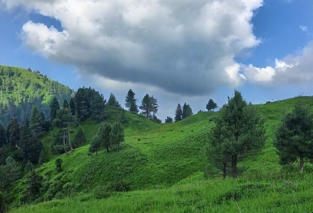
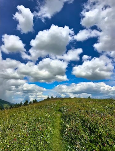
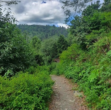
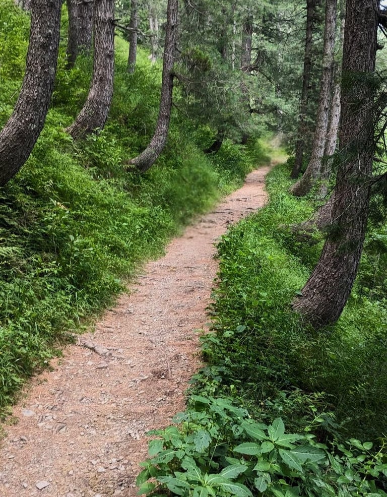
The Miranjani trail is approximately 5 kilometers long, known for its blend of steep inclines and more gradual slopes. The track begins with a steep 1-kilometer ascent, which levels out into a gentler incline as the trail progresses through a dense forest of cedar, oak, and blue pine trees. This forested area provides shade and a cool, refreshing atmosphere, making the hike enjoyable even during warmer months.
The trail’s final stretch is a bit challenging as it steepens again, but the scenery and peaceful surroundings make it well worth the effort. Near the end of the trail, it splits into two paths:
Straight path: Leads to Dagri Bangla, a popular picnic spot and historic bungalow.
Left path: Takes hikers to the summit of Miranjani.
Despite the steeper sections, Miranjani’s trail is suitable for both experienced hikers and those looking for a rewarding challenge, offering a memorable experience through one of Pakistan’s most scenic forested paths.

Flora, Fauna, and Wildlife Encounters
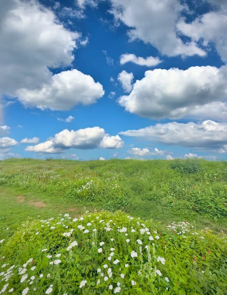
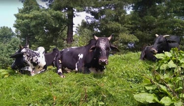
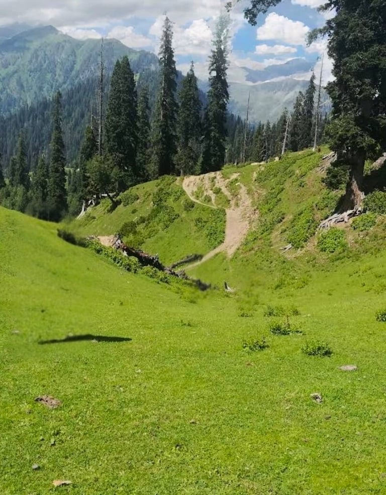
Miranjani’s ecosystem is rich with diverse flora and fauna, making the hike a treat for nature enthusiasts. The summer months, from May to September, bring a unique sight: herds of cows and bulls roam freely along the trail, grazing on mountain vegetation. Like Mushkpuri, these animals are left by their owners to graze naturally, living without any shelter and adding a pastoral charm to the landscape.
The path is lined with unique wildflowers, herbs, and lush daisies, creating a vibrant atmosphere with colorful blossoms underfoot. Birdwatchers are in for a treat as the forest is home to a variety of birds, including green parrots, whose bright colors stand out among the trees. Groups of monkeys are also frequently seen on the trail, often gathering at certain points where visitors enjoy feeding them.
These natural encounters make the Miranjani hike not only physically rewarding but also an immersive experience in the region’s rich biodiversity.

Reaching the Summit
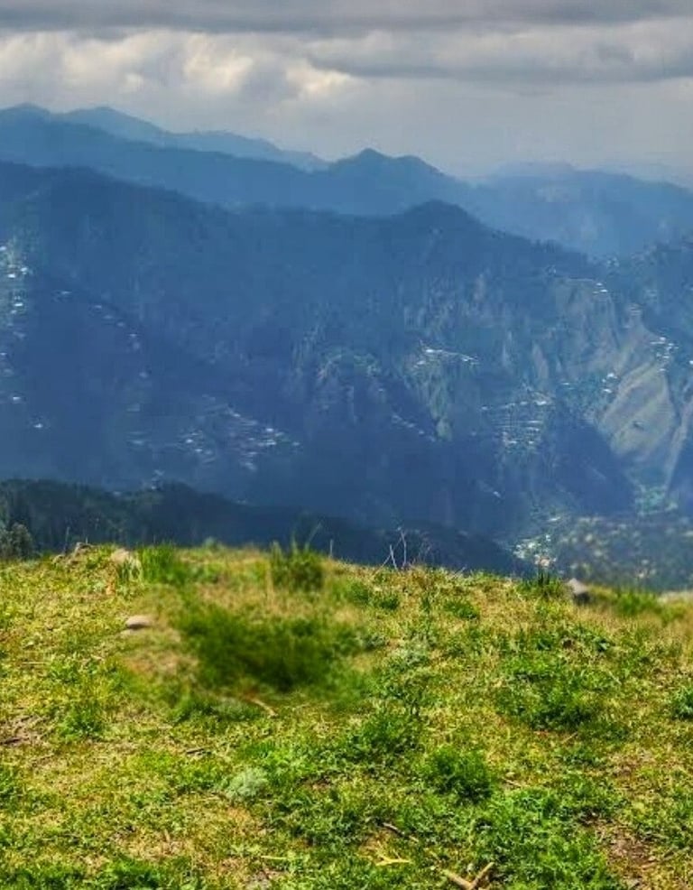
The summit of Miranjani is a spacious area with gentle slopes, wide enough for small groups and gatherings. Though not as vast as Mushkpuri’s peak, Miranjani’s summit offers sufficient space for activities and provides breathtaking views of the surrounding landscape. On a clear day, you can see a range of spectacular sights:
Nearby cities: Mansehra, Abbottabad, Havelian, Haripur, Hassan Abdal, Taxila, Rawalpindi, Islamabad, and Muzaffarabad.
Nanga Parbat: Pakistan’s ninth-highest mountain, visible in the distance, adding to the peak’s majestic views.
Jehlum River: A stunning view of the river as it winds through the valleys below.
As you stand at the summit, the sense of tranquility and awe is unparalleled. With panoramic views stretching across valleys, forests, and even to distant peaks, Miranjani offers a deeply rewarding payoff for those who make the journey.

Camping on Miranjani
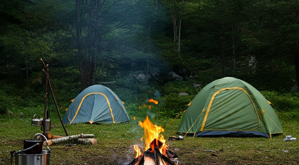
For adventurers seeking an extended experience, camping on Miranjani is a fantastic option. The peak’s altitude means that temperatures drop even in summer, so warm clothing is essential. As weather on the mountain can change rapidly, waterproof tents are highly recommended, along with supplies for sudden conditions such as heavy rain or strong winds.
While Miranjani offers an exceptional environment for stargazing, with clear skies revealing the Milky Way, family camping overnight should be approached cautiously, given the area’s remoteness and potential for adverse weather. It’s advisable for campers to prepare adequately and ensure they bring enough food, water, and necessary camping equipment.



Summary
Miranjani Peak provides a fulfilling experience for all kinds of nature lovers, offering everything from scenic trails through cedar, oak, and blue pine forests to rewarding views at the summit. Whether you’re hiking for a day or camping overnight, the peak of Miranjani is an awe-inspiring destination that celebrates the untouched beauty of Pakistan’s mountains. For those seeking adventure, serenity, and a deeper connection with nature, Miranjani offers a journey that remains unforgettable.





Tips for Hiking Miranjani
1. Hiking Duration: In good weather, the hike takes 3 to 3.5 hours due to varying trail inclines, with more time needed if you plan to explore Dagri Bangla as well.
2. Carry Water and Food: There are no water sources or shops along the trail, so pack ample supplies.
3. Dress Warmly: Even on warm days, Miranjani’s high altitude makes it chilly, especially at the summit.
4. Avoid Nighttime Family Camping: Although Miranjani is ideal for camping, overnight stays should be planned carefully, as the area is isolated.
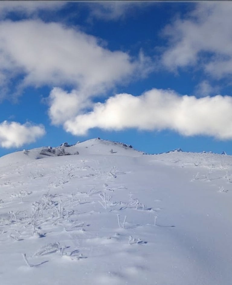
5. Best Season: Spring and autumn offer the most pleasant conditions, while winter transforms the trail into a more challenging snow hike.
Location and Accessibility
Miranjani is located northeast of Nathiagali and just north of Mushkpuri Top. The trailhead to Miranjani starts close to the Governor House in Nathiagali, on the road leading to the popular Namlimaira Waterfall. Key distances from surrounding areas are as follows:
Abbottabad to Nathiagali: 34 km
Murree to Nathiagali: 35 km
Islamabad to Nathiagali: 86 km via Murree or 130 km via Abbottabad
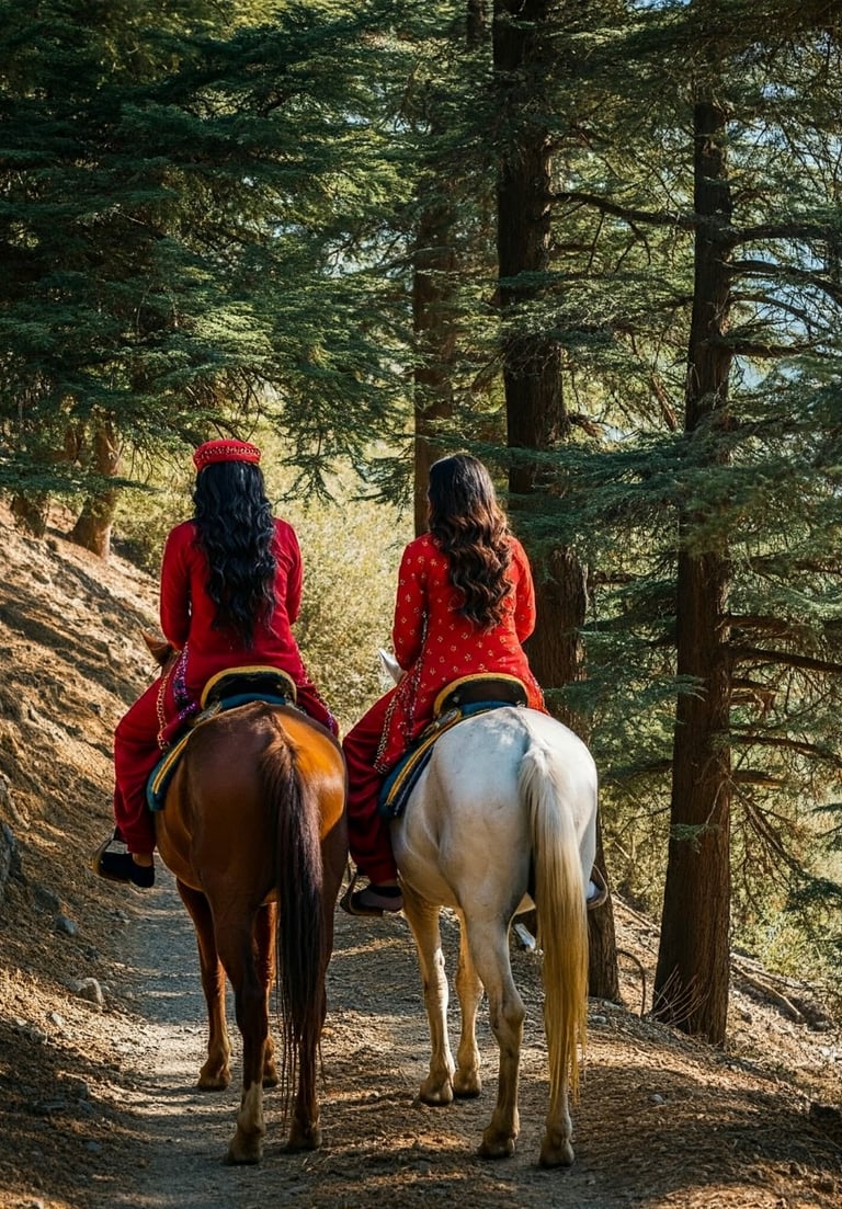
Visitors can find ample parking at the trailhead, as well as horse rides that are available for a scenic start up the path. However, once on the trail, there are no shops or water sources all the way to the peak, so hikers are encouraged to carry ample water, food, and any other essentials for the trek.


